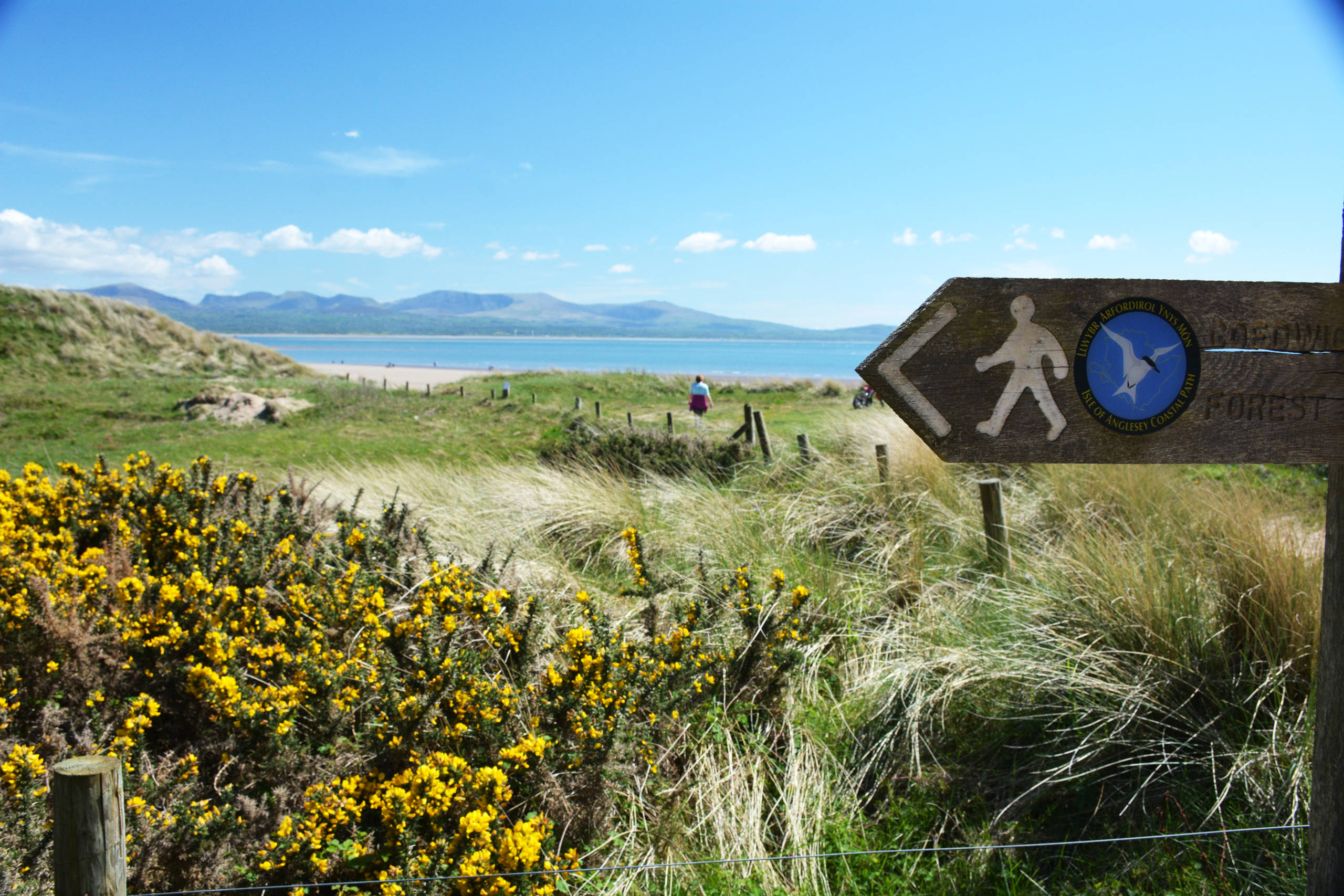
Isle of Anglesey Coastal Path
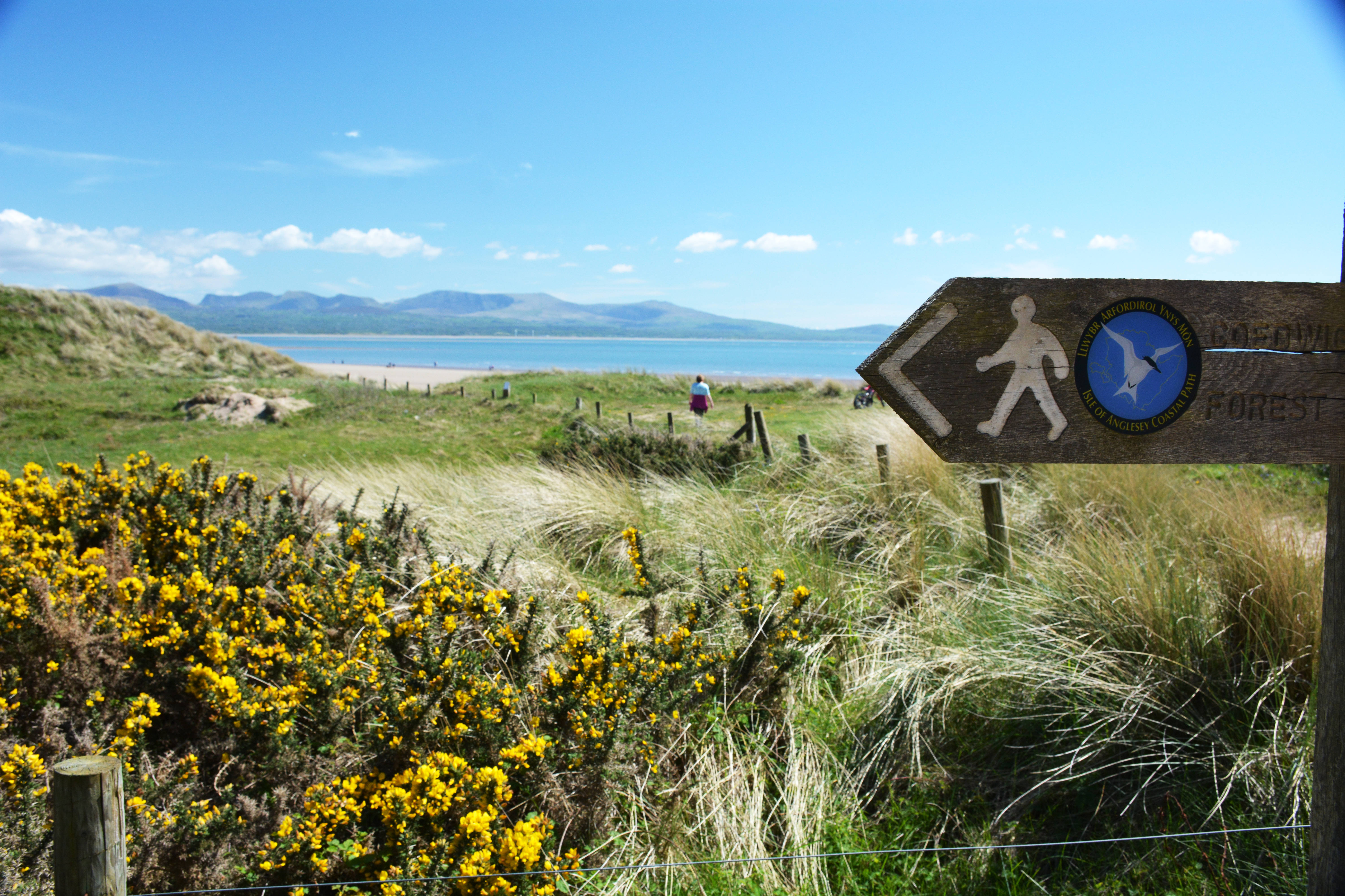
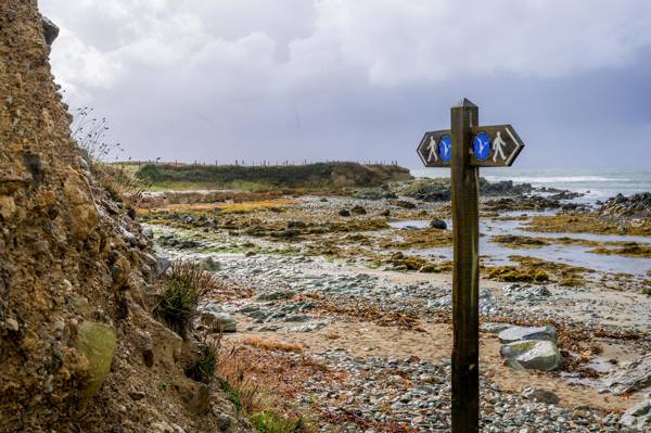
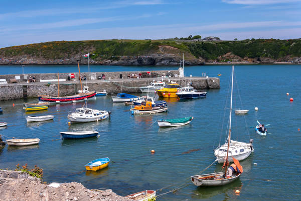
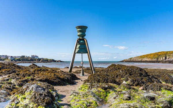
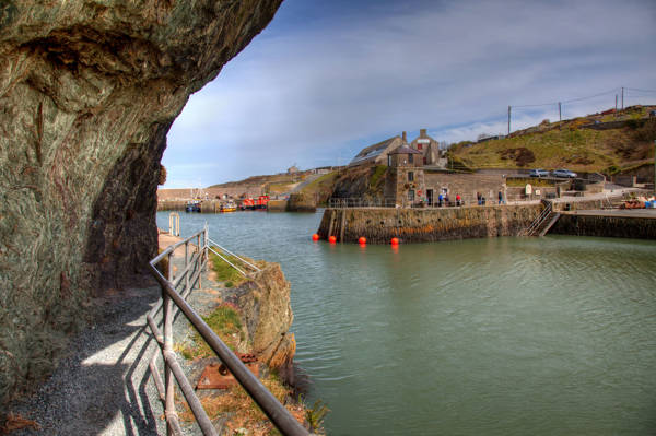
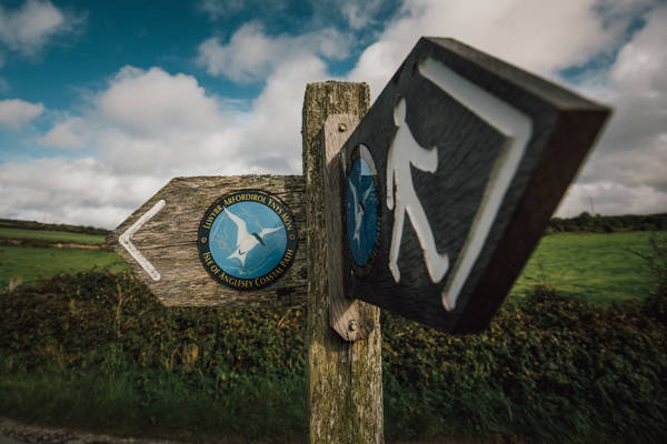
The Isle of Anglesey Coastal Path is a long distance route that follows much of the island’s coastline.
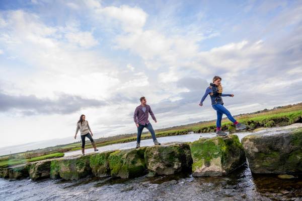
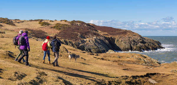
The path mainly caters for walkers; cyclists and horse riders can also enjoy certain sections.
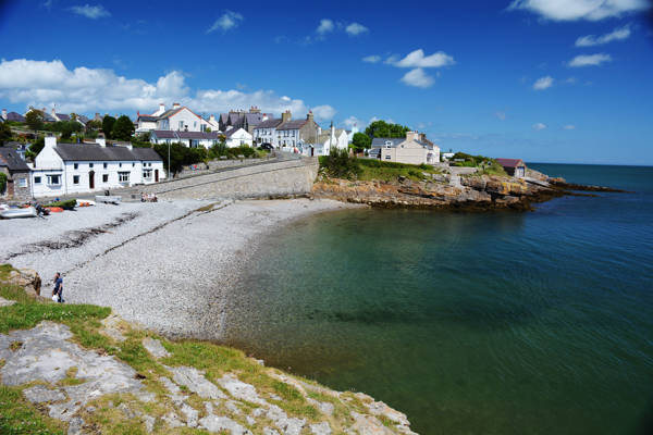
The Isle of Anglesey Coastal Path falls within a designated Area of Outstanding Natural Beauty (AONB) which covers 95% of the coast. It passes through landscape that includes a mixture of farmland, coastal heath, dunes, saltmarsh, foreshore, cliffs and a few small pockets of woodland. This includes a National Nature Reserve (NNR).
Facts
Length: 130 miles / 200km
Total height gain: 4,174m / 13,695ft
Official start point: St Cybi's Church, Holyhead (grid ref. SH247 826)
Average number of days to complete: 12
Towns/villages directly on the path: 20
Possible to complete all sections using public transport: Yes
Sections
You can walk the Coastal Path in sections. We have created route descriptions and maps for each section. You can see the different sections in the related items section of this webpage.
Highlights
- Holyhead Mountain (highest point on the island).
- South Stack lighthouse and sea cliffs.
- Sea arches at Bwa Gwyn (Rhoscolyn).
- Ynys y Fydlyn (Carmel Head.
- Llanddwyn Island.
- Menai Suspension Bridge.
- Britannia Bridge.
- Llangwyfan (Aberffraw).
- Llanbadrig and St Tysilio (Menai Bridge) churches.
- Cemlyn Nature Reserve.
- Penmon Point and Priory.
- Chough, peregrine falcon, terns, porpoises, seals and springtime wild flowers.
Friends of the Anglesey Coastal Path
Anyone who has completed the full 130 miles of the Coastal Path can now be rewarded with a special badge and a certificate recognising this achievement.
To claim your badge, please fill in the online form on the Friends of the Anglesey Coastal Path website.
Admission
Admission fees apply
Parking
Parking charges may apply
Contact Details
Address
Isle of Anglesey
Amenities
- Family friendly
