Using GPX and KML files
GPX files
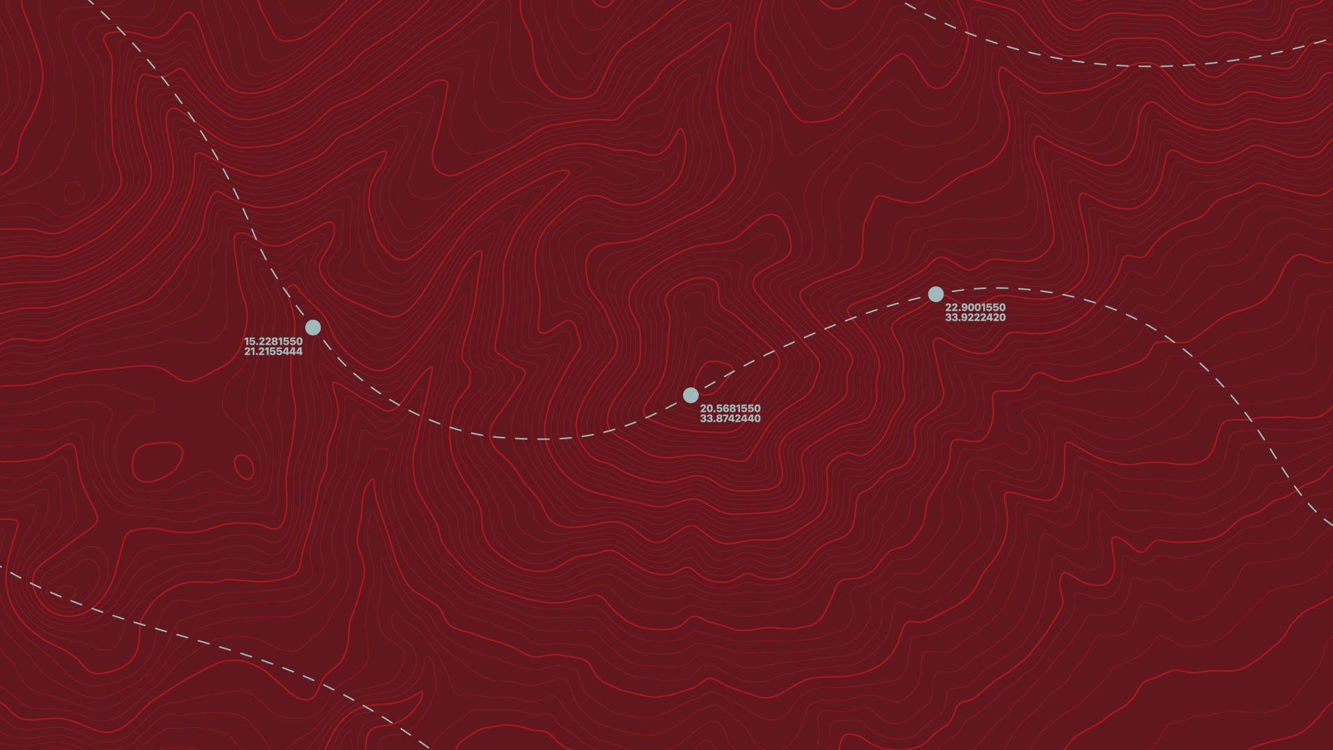
What a GPX file does
A GPX file (GPS Exchange Format) is a digital map route you can use to follow a walking trail on your mobile or GPS device. The GPX file contains coordinates that outline a path or route - perfect for walks, hikes, or runs. It helps you stay on track and explore new routes safely.
How to use a GPX file
On mobile device
- Download a compatible app, such as Garmin connect, AllTrails, Stava, and Gaia GPS.
- Set up account with your chosen app.
- Download the file from a circular walk page.
- Once downloaded, navigate to your downloaded file and open it with your selected app. You can also upload it directly inside the app using the import function.
- View your chosen route and start the walk. The app will show your location on the trail in real-time.
Using a handheld GPS device
If you have a dedicated GPS device, such as a Garmin eTrexx:
- Connect it to your computer using the USB port.
- Copy the GPX file into the ‘GPX’ folder on your device.
- Eject and disconnect the device.
- Load the route on your GPS under ‘Tracks’ or ‘Courses’ and start your walk.
Tips for using GPX files
- Make sure your app or device supports GPX format.
- Check that the file isn’t corrupted or incomplete.
KML files
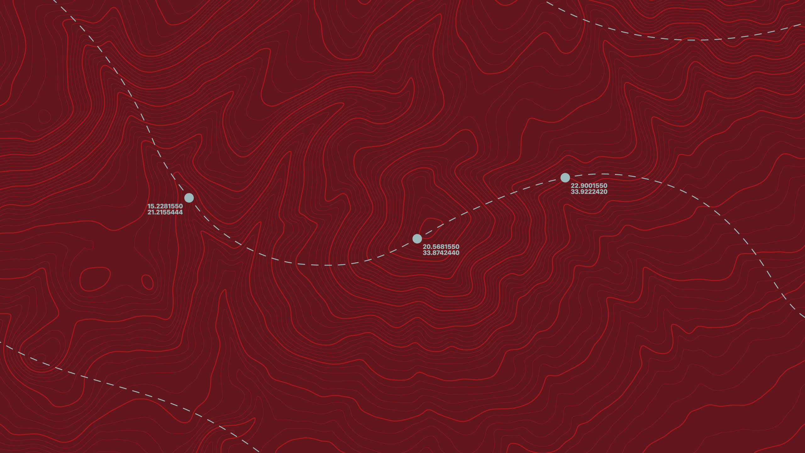
What a KML file does
A KML file (short for Keyhole Markup Language) is a file format used to display geographic data in mapping applications like Google Earth, Google Maps, and other GIS (Geographic Information System) tools.
How to use KML file
On mobile device
- Download a compatible app, such as Google Earth, Maps.me, Locus Map, Tracklia.
- Set up account with your chosen app.
- Download the file from a circular walk page .
- Once downloaded, navigate to your downloaded file and open it with your selected app. You can also upload it directly inside the app using the import function.
- You will be able to see your chosen route appear on the app.
Using Google Earth Web
- Visit Google Earth Web.
- Go to the menu (☰) and then go ‘Projects’, then ‘Open’, and then ‘ Import KML file’.
- Upload your file from your computer.
Tips for using KML files
- KML files are best for visualizing routes, points of interest, and geographic data.
- Some apps may require you to sign in or enable location access.