Llanddona circular walk
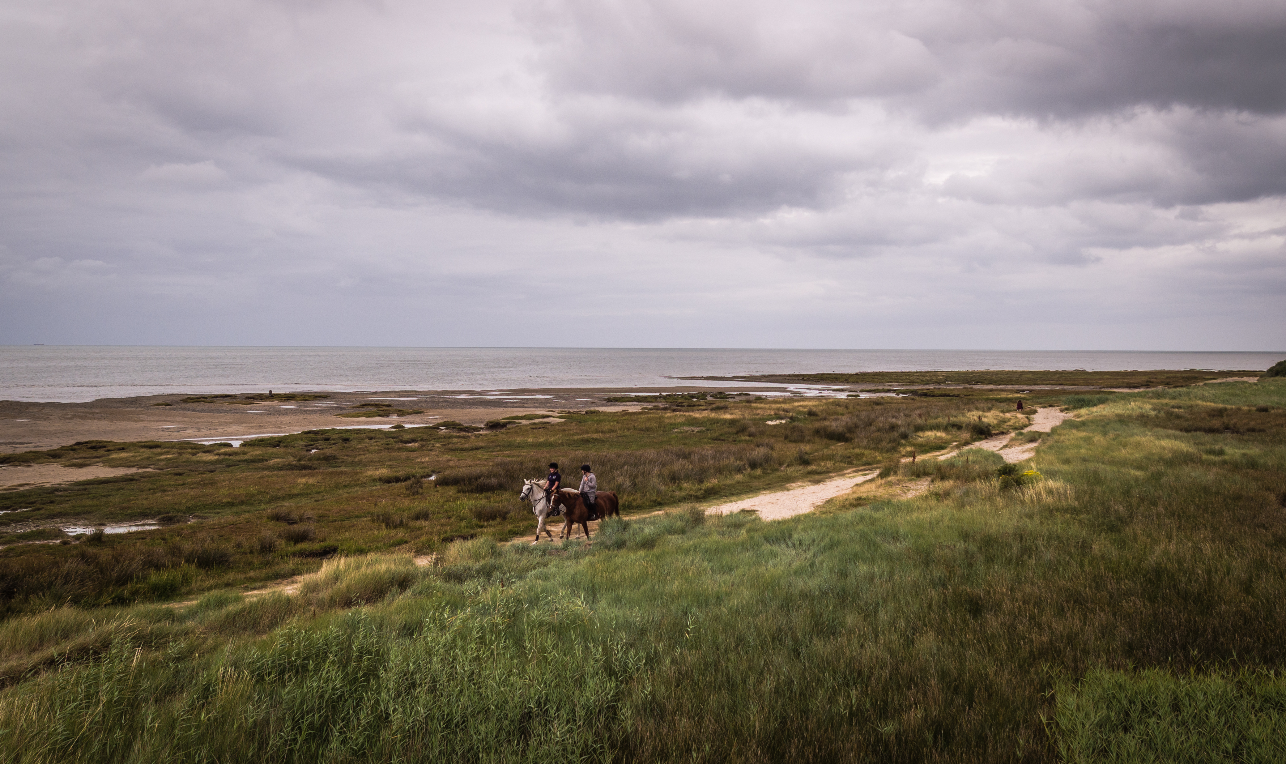
Description of a circular walk near Llanddona, on the east coast of Anglesey.
Distance: 7 kilometres / 4.3 miles
Difficulty: Moderate
A moderate walk made tougher by taking some little-used tracks which are steep in places and could be wet and overgrown. However, the magnificent views from the atmospheric limestone hillfort of Bwrdd Arthur more than make up for any hardship incurred on the return leg of this walk.
Directions
Beach car park to Bwrdd Arthur
From the beach car park cross the road towards the sea along a boardwalk, then turn right and walk along the beach. At the end there is a wooden footbridge over a stream.
Follow the Coast Path sign over the bridge along the edge of the beach and up the second set of steps to a kissing-gate. Turn left and walk alongside the hedge through two fields to the next kissing-gate.
Follow the grassy path uphill towards two houses and another kissing-gate. Continue bearing right uphill and through the kissing-gate by a telegraph pole.
Follow the Coast Path sign and turn right up the track heading inland. Where the track levels off at a right-hand bend, go left through the kissing-gate and follow the new path over the small footbridge to another kissing-gate.
Follow the yellow waymarker across the steep field to the metal gate in the corner.
Follow the path through the woods to a kissing-gate, and turn right up the steep flight of steps to a crossroads on the path. Go straight ahead across the track, leaving the Coast Path and up through the gorse to another kissing-gate and onto National Trust land Bryn Offa.
Follow the path along the field edge through a kissing-gate to where it joins the road at a wooden gate.
Here it is worth making the short diversion to the top of Bwrdd Arthur: follow the path inside the fence parallel with the road. Shortly, a clear path goes uphill to the left and zigzags its way up to the trig point. Then retrace your steps back to the wooden gate.
Bwrdd Arthur to Pen Rallt
Turn right onto the road and take the first road right named Lôn Goch. By a white stone marked Castell Cottage leave the road and head straight ahead down the track.
Please note: from this point on, many of the tracks can be wet, muddy, and possibly overgrown. A shorter and easier route would be to follow the tarmacked road downhill to the sea and back to the start at the car park.
When the track turns sharp left continue straight ahead down the footpath between the hedges. Go down steps at the end by the drain outside Tros yr Afon.
Turn left up the steep concrete drive and continue on up the muddy hedge-lined track. Keep walking uphill and when the path reaches a wire fence, bear right onto a flatter, gravel path.
Cross the shallow ford, and you reach farm buildings. Bear right keeping the buildings on the left, follow the path to a gate, and turn right along the road at Pen Rallt.
Pen Rallt to the beach car park
Walk past Hafod y Rhug on the right and after approximately 100m turn left at the footpath sign, down a double-track towards the sea.
When this track bends right and you see a collection of houses, turn left onto the grass and head for the nearby kissing-gate. Here the footpath splits so take the one going uphill as it is less churned up by livestock.
Find a kissing-gate through the gorse above the white house, and follow the metal fence at the edge of the woods to emerge by the gates of the same white house, Cae Maes Mawr.
Bear left onto the road and follow it downhill all the way back to the beach car park.
Further information on this walk
History and interest
- Llanddona’s haphazard pattern of development is indicative of smallholdings that were established on wasteland under the Ty Unnos or squatters’ rights system. East of the village is the SSSI Llanddona Common Nature Reserve, and there are numerous other pieces of Common heathland scattered around the area.
- Bwrdd Arthur (Arthur’s Table), or Din Sylwy is a flat-topped, steep-sided, limestone hill rising to 164m, and at its summit are the remains of an Iron Age Hillfort. The 2m-thick dry-stone wall around its perimeter, built in haste to repel invading Romans, encloses 7.5ha.
- Records of St Michael’s Church on Bwrdd Arthur’s eastern slope appear as early as 1254, but the present church dates to the early 15th century.
- A well-preserved medieval Fish Weir, designed to trap fish on an out-going tide, can be seen at low tide near the stream.
- St Dona’s Church, from which the village takes its name, is dedicated to St Dona who lived on the shore nearby. The current building is Victorian, but the first church on this site was built in 610AD.
Wildlife
At low tide the 10km² of exposed sand mud, shingle and boulders at Red Wharf Bay welcomes curlew, oystercatcher, redshank, plover, sandpipers, dunlin and, during the winter months, brent geese.
Bwrdd Arthur’s calceaous (limestone) grassland habitat is home to western gorse, common rockrose, pale St John’s wort, frog orchids, ivy broomrape and the nationally rare hoary rockrose.
Transport
The No.58L bus from Beaumaris stops 1km from the start of this walk.
Refreshments
The beach car park at the start has a seasonal café, as well as picnic tables, toilets and a tourist information hut.
Llanddona has no cafés or shops but its pub Yr Owain Glyndwr serves food.
Admission
Admission fees apply
Parking
Parking charges may apply
Address
Start of the walk
Amenities
- Family friendly
- Parking available