This walk boasts a real mixture of terrain and sights: from farmland and low coastal clifftops to moorland and the second-highest peak in the county. The summit of Bodafon Mountain offers spectacular panoramic views over the whole of Anglesey and beyond. Steep and potentially boggy in places.

Brynrefail circular walk
Description of a circular walk near Brynrefail, on the east coast of Anglesey.
Start from
what 3 words address: perch.showering.bunkers opens in a new tab
Difficulty
Challenging
Distance
About 8.3 miles
Further information on this walk
History and interest
- Lligwy Beach is a wide, open, dune-backed, sandy bay suitable for windsurfing, kitesurfing and surfing.
- The Quadrant Shelter was once used to help triangulate the impacts of shells when Lligwy Beach was used as a World War Two bombing range.
- The Morris Brothers’ Monument was erected in 1910 to commemorate the work and lives of four scholarly 18th century local brothers. The Celtic cross is on land belonging to their former home, Pentre Eirianell.
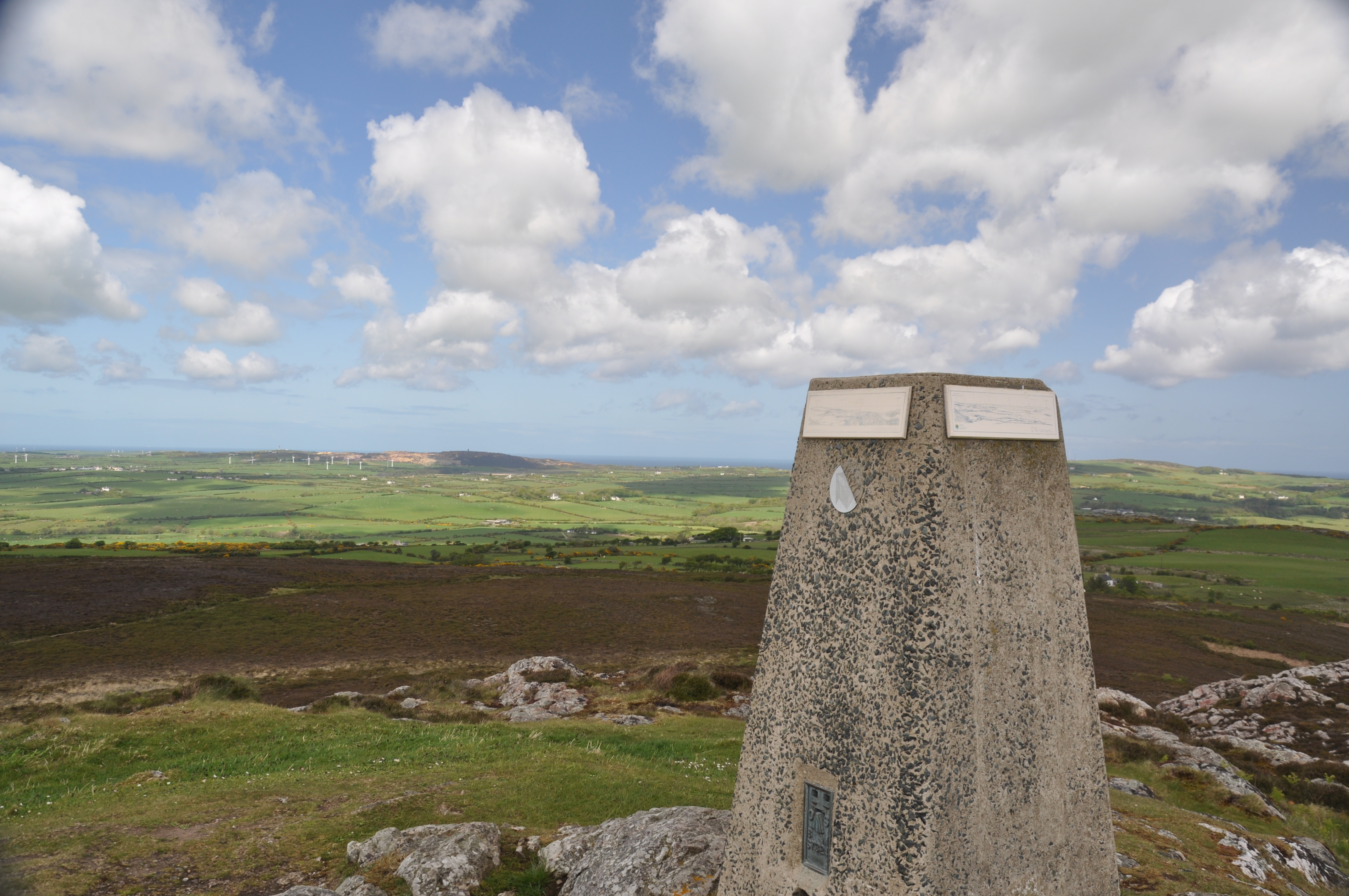
- Yr Arwydd (the signal) also known as Mynydd Bodafon, (Bodafon Mountain) is a craggy outcrop of rock, and the second highest point on the island of Anglesey at 178m. The mountain is important in the druidic and spiritual local traditions.
Wildlife
In 2000 a new plant, found nowhere else in the world, was discovered at Lligwy Beach: a cross between a giant and field horsetail. Named equisetum x robertsii, in memory of botanist, RH Roberts, who worked on Anglesey for many years. Bottle-nosed and common dolphins, and harbour porpoise can be seen off the coast.
The rocky, lavender-covered heathland around Bodafon Mountain is the perfect habitat for adders and common lizards.
Public transport
Brynrefail is on bus route number 62 which runs between Bangor and Amlwch.
Refreshments
- There is a seasonal café in the larger car park further south from your start.
- The Pilot Boat Inn serves food.
- Tyddyn Môn, a Learning Disability Wales Centre, has a pancake-based café.
Route maps
GPS based digital route maps are available below.
Find out how to use GPX and KML files - opens in a new tab .
GPX format
Download: Brynrefail circular walk (GPX)KML format
Download: Brynrefail circular walk (KML)Admission
Admission fees apply
Parking
Parking charges may apply
Address
Start of the walk
Amenities
- Family friendly