Low cliffs and farmland dominate this short-but-sweet walk in the Llaneilian area, a spread-out settlement with no real centre. Packed with great scenery and fascinating local history, this walk offers a great taster of this corner of Anglesey. Though short, this walk has a challenging hill with a potentially difficult descent.
Llaneilian circular walk

Description of a circular walk near Llaneilian on the north coast of Anglesey.
Start from
what 3 words address: pointer.prominent.gross opens in a new tab
Difficulty
Moderate
Distance
About 2.1 miles
Further information on this walk
History and interest
- Porth Llaneilian is a charming, sheltered sand-and-shingle cove, ideal for sailing, kayaking and diving.
- The current Point Lynas lighthouse was built in 1835 and replaced an earlier tower built in 1779 located 300m further south. The light was electrified in 1952 and became fully automated in 1989. The telegraph station was moved here in 1879 from its site further up the hill.
- Tyllau Duon (meaning black holes) is the site of a former slate quarry. Work-faces, an access track, and a flight of steps cut into the cliff giving access from the sea, can still just be made out.
- Coed Avens is a relatively new area of woodland planted with a variety of native trees providing a diverse habitat.
- The Old Telegraph Station marks the highest point of this walk and is now a private home. Built in 1841 it was one of 12 such stations on the North Wales coast.
- Mynydd Eilian, just a short detour to the south-west, is the second-highest peak on the Isle of Anglesey at 177m. Mynydd Bodafon is 1m higher. Holyhead Mountain - located on Holy Island - is the highest point in the county of Anglesey at 220m.
Wildlife
Grey seals are a common sight in the bay, while dolphins or porpoises can often be spotted out at sea off the headland.
The low clifftops and promontories are good places to see chough and ravens, while oystercatchers and other wading birds can be seen along the shoreline.
Public transport
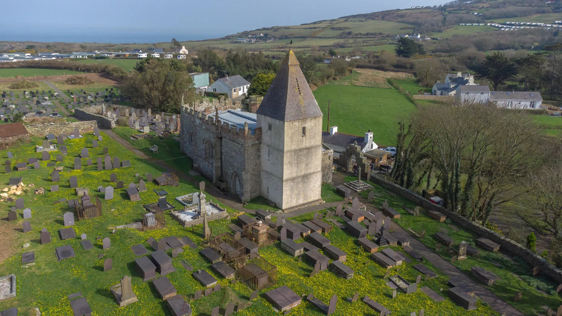
Number 31 bus from Amlwch to Rhosgoch stops at St. Eilian’s Church which is a short distance from the start of this walk.
Refreshments
There are no shops, cafés or pubs. The nearest facilities are in Amlwch 4km away.
Route maps
GPS based digital route maps are available below.
Find out how to use GPX and KML files - opens in a new tab .
GPX format
Download: Llaneilian circular walk (GPX)KML format
Download: Llaneilian circular walk (KML)Admission
Admission fees apply
Parking
Parking charges may apply
Address
Start of the walk
Amenities
- Parking available