Essentially this is a short, flat, clockwise walk around the perimeter of Llyn Maelog, and a stroll along the beach at Traeth Llydan. Binoculars might prove useful as both places offer superb opportunities for spotting wildlife of all kinds. Parts of the lake side path may be rocky or muddy. Take care crossing the roads.
Rhosneigr circular walk

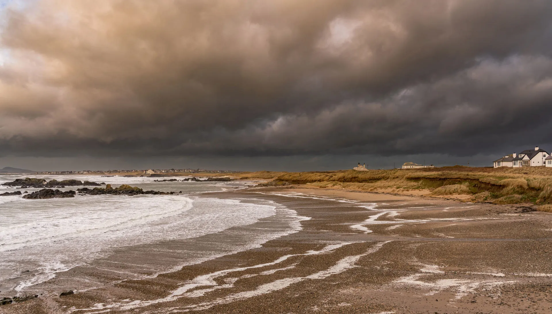
Description of a circular walk near Rhosneigr, on the south coast of Anglesey.
Start from
what 3 words address: enter.agents.workloads opens in a new tab
Difficulty
Easy
Distance
About 2.2 miles
Further information on this walk
History and interest
- ‘Rhos’ is a common prefix in Welsh place names meaning moor, and ‘neigr’ probably derives from the name Yneigr, a 5th century leader. The village became a popular holiday destination in the Edwardian era and many of its buildings date from this time.
- Llyn Maelog is a natural lake covering 26 hectares and in places is up to 3m deep. It is a designated site of special scientific interest (SSSI), and is the only officially designated village green in Wales that is also a lake.
- The beautiful, golden sandy beach at Traeth Llydan with its dunes and wide, sheltered bay is popular with holidaymakers, kayakers, paddleboarders and swimmers.
Wildlife
Depending on the time of year, the lake is usually teeming with birdlife: mute swans, canada geese, greylag geese, grey heron, oystercatchers, shelduck, coot, moorhen, pochard, cormorant, reed warbler, reed bunting all frequent the lake, and black-headed gulls nest on the small island.
Beneath the surface there’s perch, bream, roach, rudd and pike.
Plantlife around the lake includes yellow loosestrife and the locally uncommon greater spearwort. Lesser water-plantain and flowering-rush are other rarer plants which occur around the lake’s margins.
Public transport
Rhosneigr Rail Station is located near the northern end of the lake. Public Footpaths could be taken from near the station to link to this walk.
Bus number 25 from Holyhead to Aberffraw stops in Rhosneigr, as does number 45 Llangefni to Rhosneigr. Both services run from Monday to Saturday.
Refreshments
Rhosneigr has several cafés, pubs and shops in the village centre.
The Oystercatcher building near the dunes is a large restaurant with bars.
Route maps
GPS based digital route maps are available below.
Find out how to use GPX and KML files - opens in a new tab .
GPX format
Download: Rhosneigr circular walk (GPX)KML format
Download: Rhosneigr circular walk (KML)Admission
Admission fees apply
Parking
Parking charges may apply
Address
Start of the walk
Amenities
- Parking available